ArgenFields
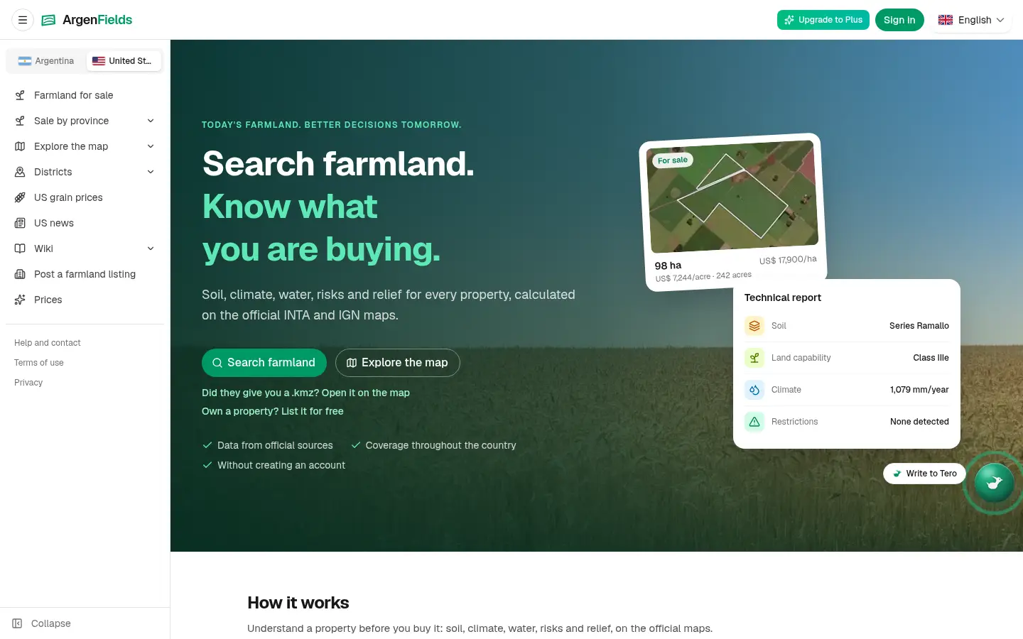
Farmland maps and reports for Argentina and the US
Free map and weekly report allowance; paid plans add capacityFreemium
About
Features
- Farmland maps for Argentina and the contiguous United States
- Define a field boundary and read its technical report
- US soil context with SSURGO and NCCPI where available
- Climate, water, terrain, mapped risks and logistics
- County pages and soil-series wiki
- Indicative cash-rent, land-value and solar-potential screening
- Dated regional grain prices with basis
- Free map and weekly free-report allowance; paid capacity available
Similar products
Compare 24 ArgenFields alternativesKindSlot
FreeDR 3Free browser games with XP Points and digital rewards
other
Listed Nov 6, 2026Verified live
Airdrop Meta
FreeDR 6Discover and Track Latest Crypto Airdrops.
analyticsfinance
Listed Nov 6, 2026Verified live
Tadna
Free to readDR 1Technology news, analysis and product comparison
aieducationother
Listed Nov 6, 2026Verified live
StatementXL
Free tier; Standard $9.90 / Pro $24.90 / Business $39.90DR 6StatementXL turns text-based bank statement PDFs into Excel/CSV in the browser.
saasproductivityfinance
Listed Nov 6, 2026Verified live
★ Featured
Pinned by their makers. Products in the same categories show first.
8ake
FeaturedFrom $79, one paymentDR 26Directory submissions for new apps and SaaS, with rejected listings replaced until they are live.
marketingsaas
Listed Oct 14, 2026Verified live
Uaask
FeaturedFrom $39/moDR 0The AI agent that knows every product you sell
saasai
Listed Sep 19, 2026Verified live
dcs4
FeaturedFree searchDR 11Find available 4-letter .com domains before they hit the open market
saasdomainsmarketplace
Listed Sep 19, 2026Verified live
tta1
FeaturedFree with an accountDR 11Listen to any article, PDF or screenshot — text to speech in 25 languages.
saasproductivityai
Listed Oct 2, 2026Verified live